Orthophoto Generation
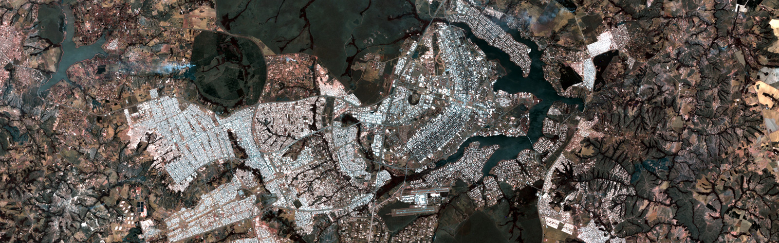
Orthophotos are used as one important reference in GIS for mapping, feature identification and extraction. Orthophotos are prepared from aerial images by removing the tilt and relief displacement.
We at Impulsions do orthorectification of images by use of traditional photogrammetric method as well as from TerraPhoto specific inputs. We also have experience of doing orthomosaics from drone acquired images.
The processes that we typically follow in orthorection at Impulsions are
- Aerial Triangulation (TerraPhotospecific)
- Prepare the DEM from LiDAR or other inputs
- Add break lines for bridges and wherever required
- Project triangulated aerial images to DTM.
- Seam editing and color balancing
- Identify hotspots and see alternate images
- See for cloud or smoke in images and ensure to take images with least effect
- Ensure that adjacent images are matched well to each other especially at seam lines
- Import control points to ensure that images are within acceptable tolerance range.
- Orthomosaic generation
- Quality control and necessary corrections
- Tiling and control report generation