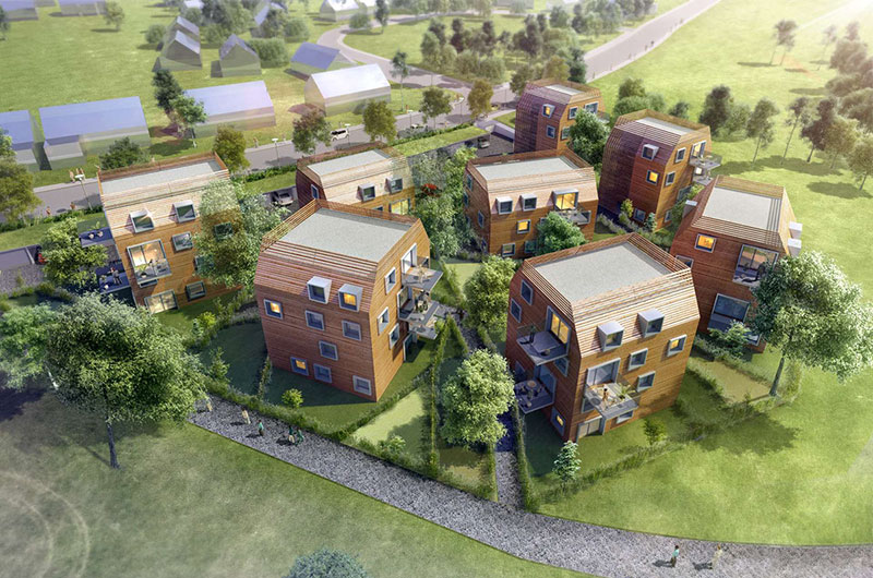


LiDAR is one of the most effective means of deriving almost any kind of Geospatial and engineering information. Our highly experienced team deliver LiDAR based products that conform to all customer and industry standards. We at Impulsions Laser have the necessary skills and expertise to process all types of Laser survey data. We operate with the best available software in the market and process the data adhering to your required standards and in conformance to your Acceptable Quality Levels (AQLs). Our services start with project planning, continue through preparation and setting up of milestones, to delivering the output on or ahead of schedule. All the while we ensure that the output, we deliver to our clients follow the standard processes and procedures with the highest possible quality. Our effective communication system keeps our partners and clients updated about the project progress throughout the project life cycle.
Explore More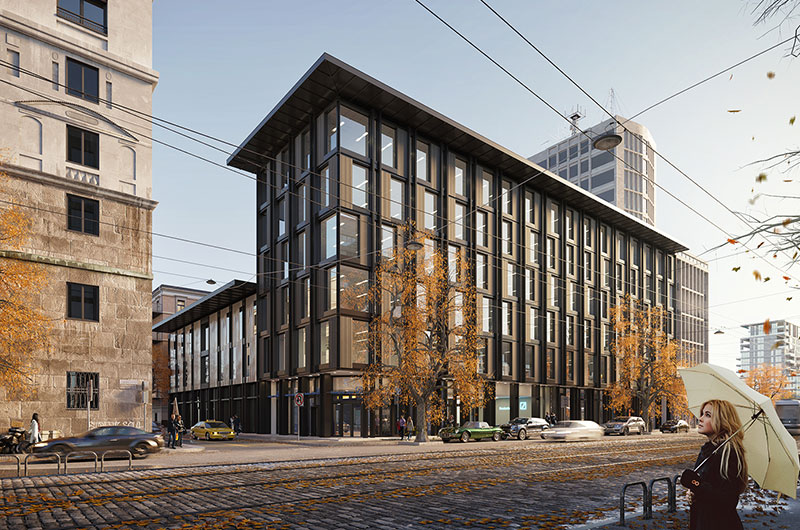
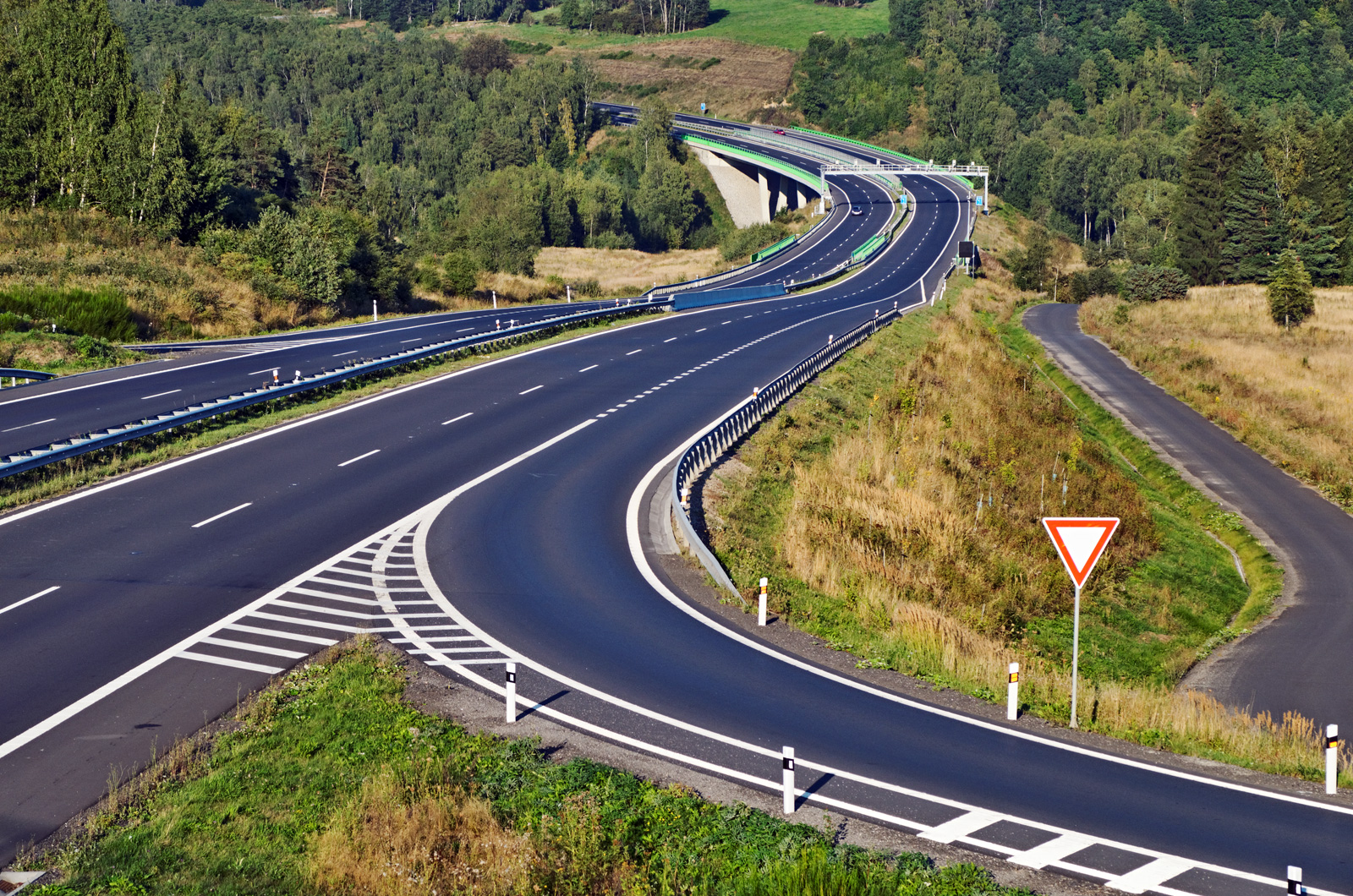
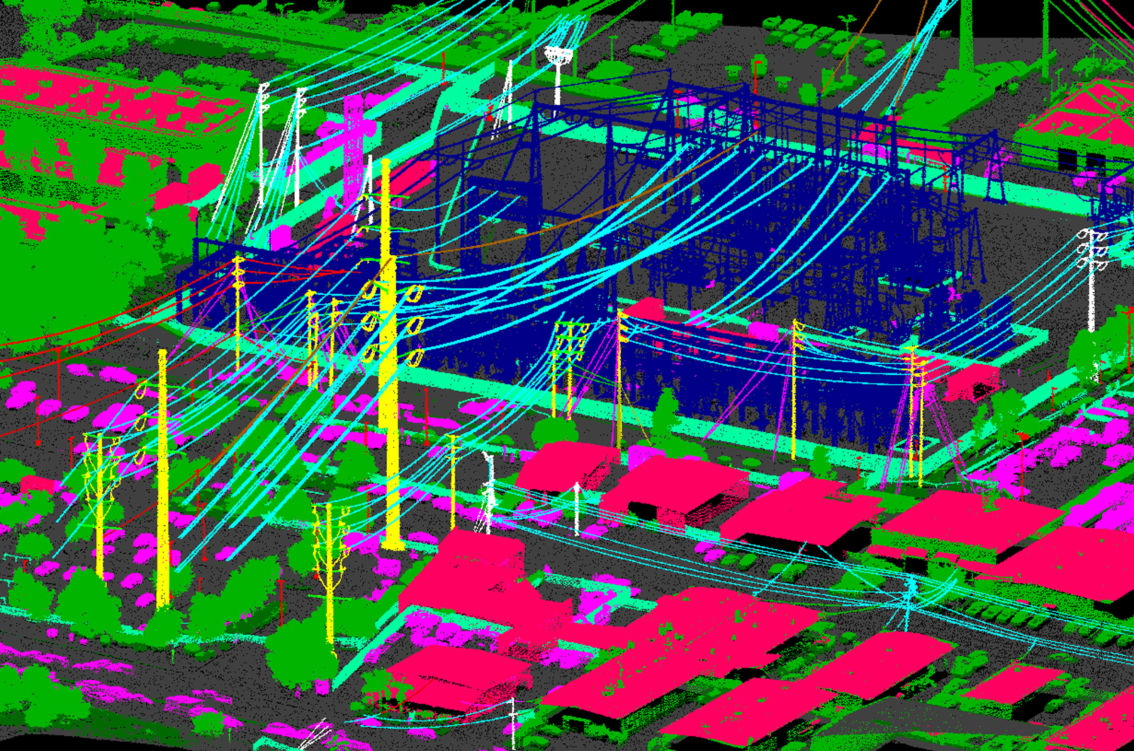
Terrestrial Mobile LiDAR or Mobile Mapping LiDAR acquired from vehicle mounted scanners acquires very accurate inputs. These in turn server as precise inputs for the GIS industry for various projects with varied scope. Impulsions Laser has a team with profound experience in this domain. Our specialists extract features from LiDAR together with panoramic or 360 images and deliver highly accurate and precise data to meet our customer's needs.We have processed many projects to different DOT standards with great preciseness. This include both road and rail corridor projects.
Explore More